Village Charities & Historic Buildings
Preserving Shotteswell’s rich heritage and community traditions

Flying Horse – former bakery, shop and pub
🎗️ Maidens Dole
Recorded charities consist of two pieces of land: Maidens Dole (approximately one and three quarters of an acre) and Poor’s Lot (about three quarters of an acre), which was set aside in 1793. The income from these fields was originally used for the benefit of poor persons living in the parish.
🍞 The Good Friday Tradition
The custom evolved so that whoever was in the parish at 12 noon on Good Friday – whether resident or “passer be” – was entitled to a loaf of bread collected from the school. Large families would bring washing baskets to carry their bread home!
This tradition faded over the years, with income then used to buy coal for senior citizens. As coal fires declined, cheques were given for central heating costs. In 2012, the trustees reverted to the traditional custom of providing loaves of bread – one per household.
Charity Trustees: The Vicar (ex-officio) and two representatives appointed by the Parish Council.
🚚 Historic Village Services
🍞 Village Bakery
Originally located at the Flying Horse and later at the Old Bakehouse in Bakehouse Lane. A mobile delivery service operated to surrounding villages, renowned for scones and dough cakes.
🏪 Village Shops
Two shops existed: one at the Old Post Office and another at Red Roof, which later transferred to the Flying Horse before closing about 25 years ago.
🥛 Milk Deliveries
The village once had its own milkman delivering to Shotteswell and surrounding villages. Today, deliveries come from Banbury on certain days only.
🍻 Village Public Houses

Corner Cottage – former pub pictured here
Shotteswell once boasted three pubs:
- The Flying Horse (Middle Lane) – the last to close
- Corner Cottage (Bakehouse Lane) – former pub
- The Wobbly Wheel (B4100) – formerly the Hare & Hounds, with part of its grounds in the parish
🏛️ Other Historic Sites
⛽ Former Filling Station
Now the Caravan Shop on the B4100. Closed due to the M40 opening and supermarket fuel sales taking trade away.
👮 Old Police House
Located on the B4100 near Carpenters Farm, where the village policeman used to reside.
🛣️ Village Road Man
The parish once had its own road man who swept lanes by hand and scythed the steep grass banks down the valley.

The Old Police House – along the B4100
🚐 Mobile Services
Mumford’s Mobile Butcher: Operated a delivery service for many years. The famous sausages can now be found at Meadowsweet Farm Shop in Horley – a treat not to be missed!
🌾 Agriculture
Shotteswell once had six working farms; it now has four. Much of the land is arable, but some livestock remains, providing a welcome sight especially in springtime.
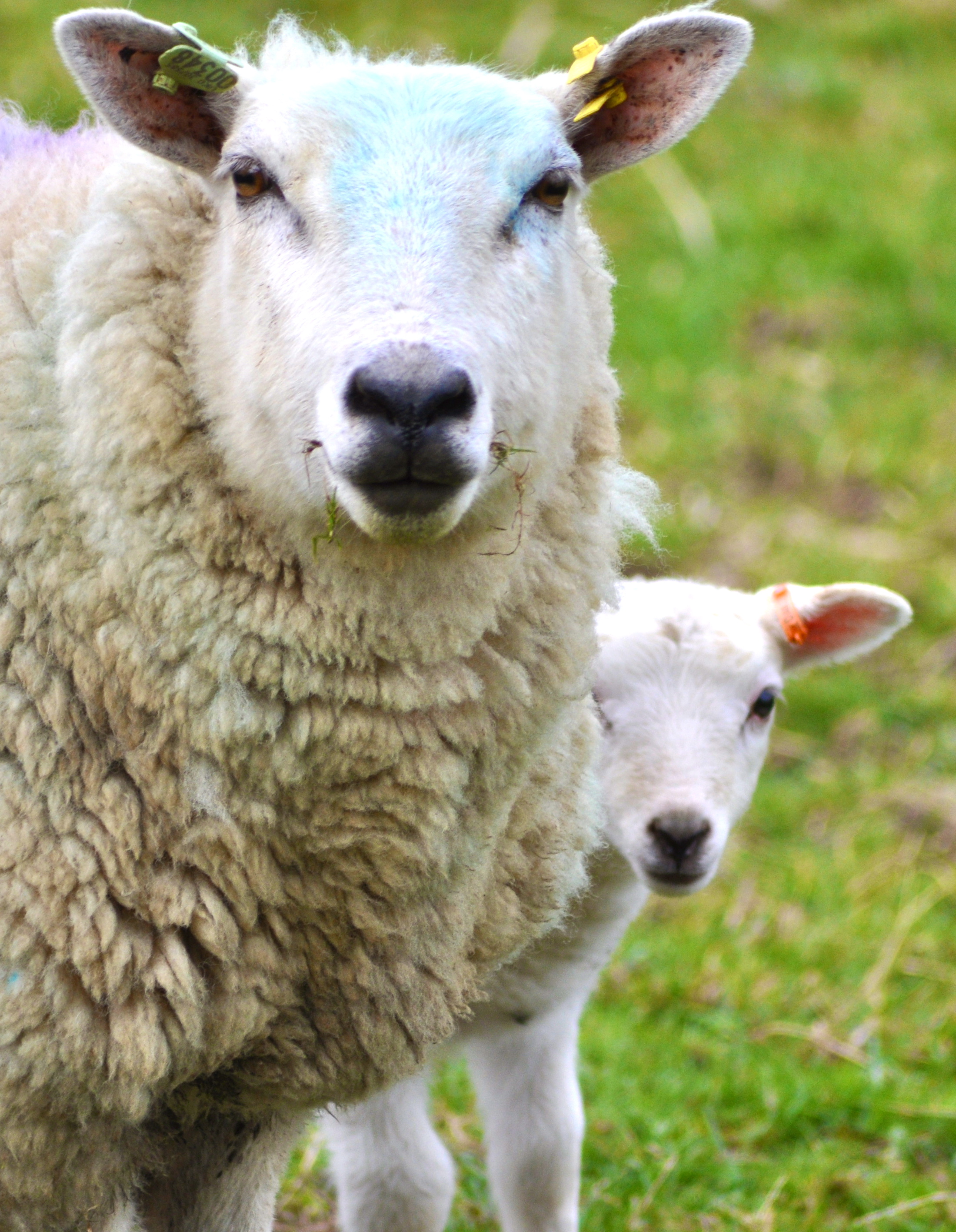
Village scene with sheep
🪨 First Turn & Milestone

Milestone in the Spring
Entering the village from the B4100 at “First Turn,” you’ll notice a gentle incline. This turn was modified in the 1970s to improve safety on what was then the A41 – a notorious accident black spot.
The modifications removed the big dip in the road, along with the familiar stile and mulberry tree, much to villagers’ chagrin at the time.
Restored Heritage: The milestone on First Turn was beautifully restored by Trevor Dean, a former parish resident who has become a well-established stone mason, carrying out specialist work on historical buildings throughout the area.
📊 Population Through the Ages
Some families within the village can trace their ancestry in Shotteswell back more than 500 years.
2021 Census Highlights
👥 Demographics
- Males: 117 (51.3%)
- Females: 111 (48.7%)
- Population Density: 43.3/km²
🎂 Age Structure
- 0-17 years: 29 (12.7%)
- 18-64 years: 128 (56.1%)
- 65+ years: 71 (31.1%)
🌍 Origin
- UK Born: 206 (90.4%)
- EU: 12
- Other: 10
⛪ Religion
- Christian: 148 (67.3%)
- No religion: 70 (31.8%)
- Other: 2
📊 Ethnic Groups
- White: 222 (97.8%)
- Asian: 2
- Mixed: 3
📈 Population Change
- 2011-2021: +0.31% annual
- Area: 5.27 km²
- Postcode: OX17
Detailed Census Data
For comprehensive population statistics and demographic breakdowns:
🚃 Transport Connections
🚂 Rail Links
Recently upgraded intercity rail service from Banbury to London Marylebone – approximately 50 minutes journey time.
🛣️ Motorway Access
M40 Junction 11: Convenient for London and the south
M40 Junction 12: Access to Birmingham and the Midlands
